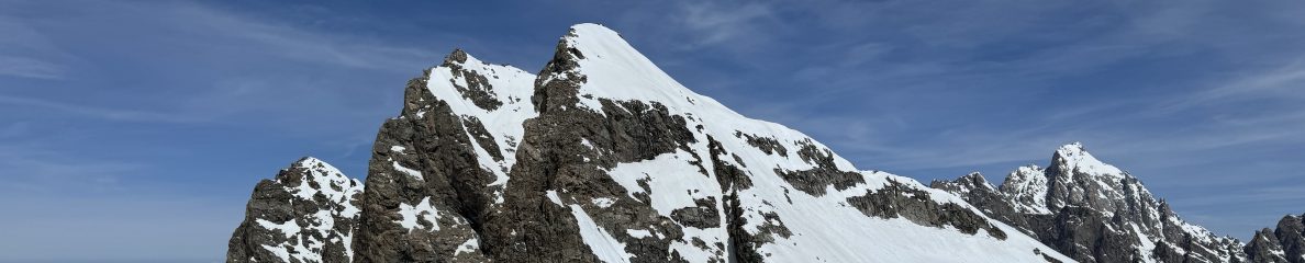
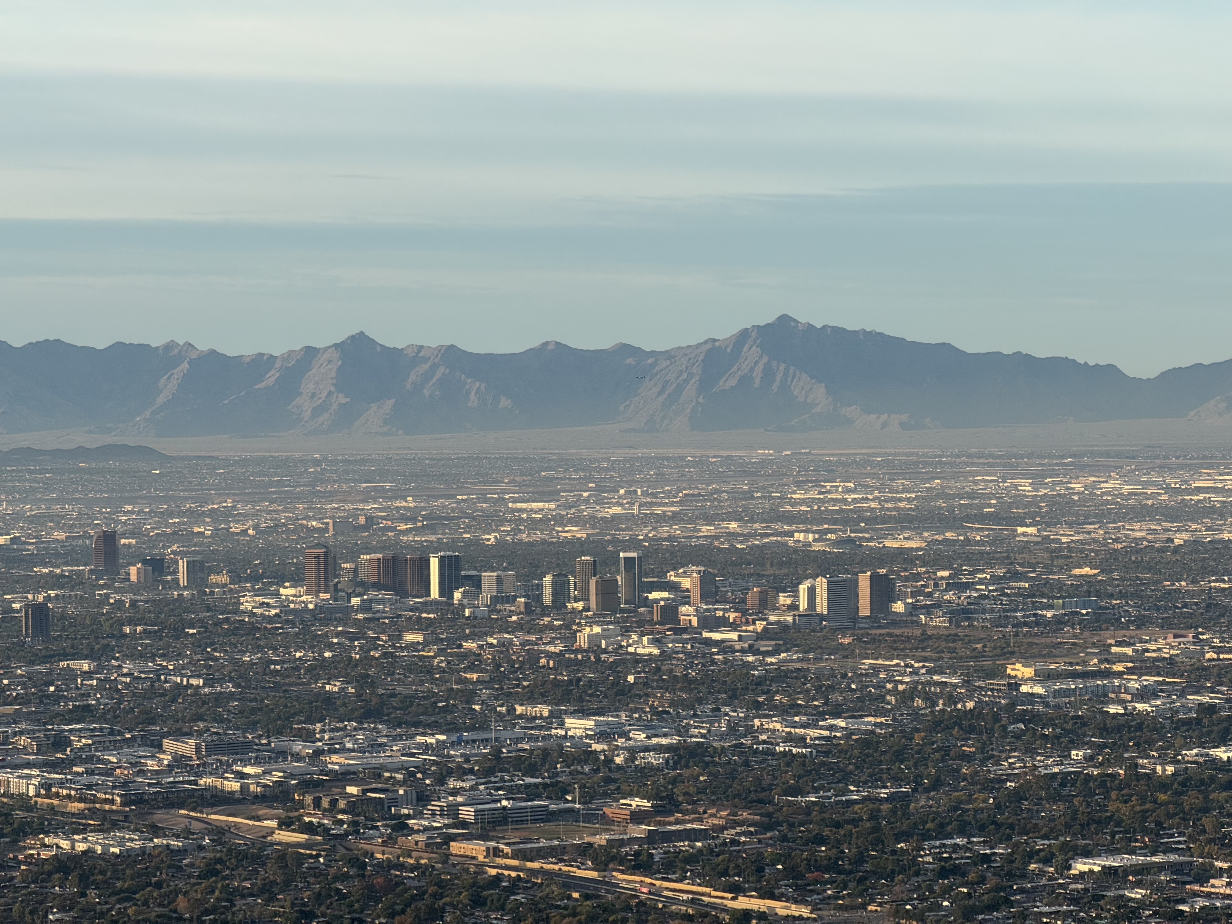
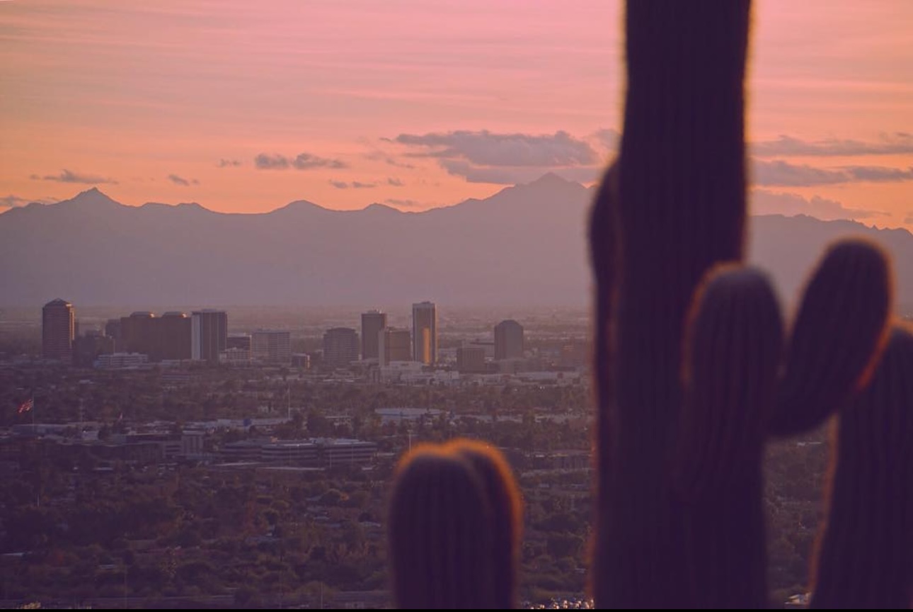
The Sierra Estrella Mountains are a dominating feature from within the Phoenix metro, forming the Southwestern rim of The Valley of the Sun; the Highpoint is the 2nd most prominent peak in the area with a rise of 3212′ above the valley floor. The name translates to “Star Mountains”, which must refer to the view of the city at night and the sea of speckled lights across the valley… a beautiful sight for sure, but I highly doubt the stargazing is very good in this range.
The first time I saw this peak was in the winter of 2018, driving from Texas to L.A. after dropping out of college in 2018. I had no concept of “peakbagger” at this time, but these early memories remind me that I was always one at heart. I remember plainly thinking a peak like this was basically off-limits since there was no trail or even trailhead to be found for it. The peak seemed about as inaccessible as Denali. I pictured a week’s-long expedition, dehydration, bushwhacking, trespassing, no service, snakes and coyotes, etc. All very inspiring things to me, but beyond my ability at the time. I put those ideas on the back-burner for when I was “ready”.
Turns out it is almost all of those things, but it only takes half a day. I’m not entirely sure if there was any trespassing either, but there is a lot of private land around and I did pass a Native Reservation land notice. but other than that, I wasn’t entirely wrong.
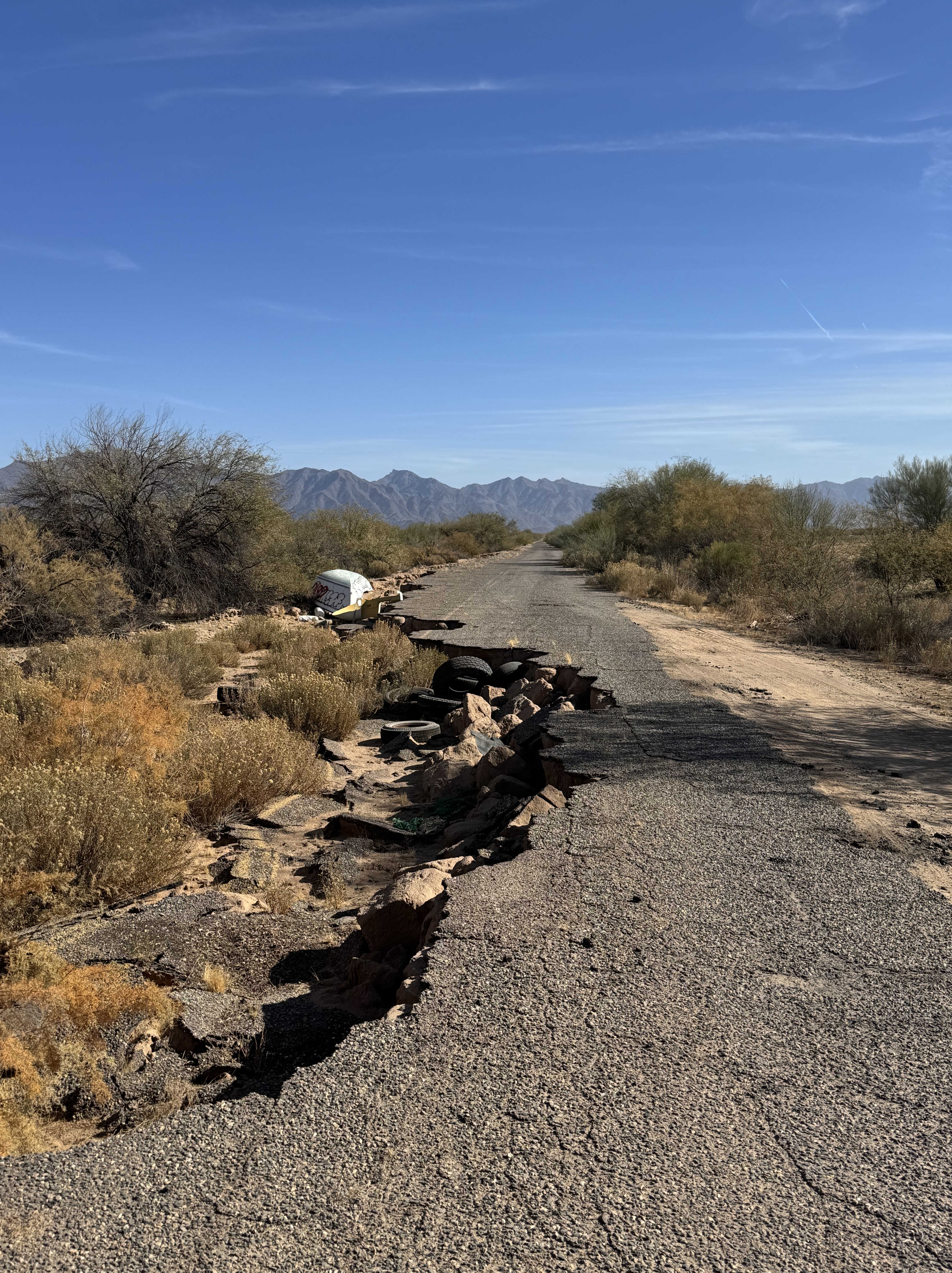
The drive-up was a bit confusing. There’s a handful of private alfalfa plots between the highway and the base of the mountain. I poked around for about an hour searching for roads that weren’t gated or otherwise impassable in the CRV. Eventually I got to a gate which indicated it was safe to open & pass. I have attached a gpx file at the bottom of this post for those who need it. The road wasn’t super rugged, though a bit sandy toward the end.
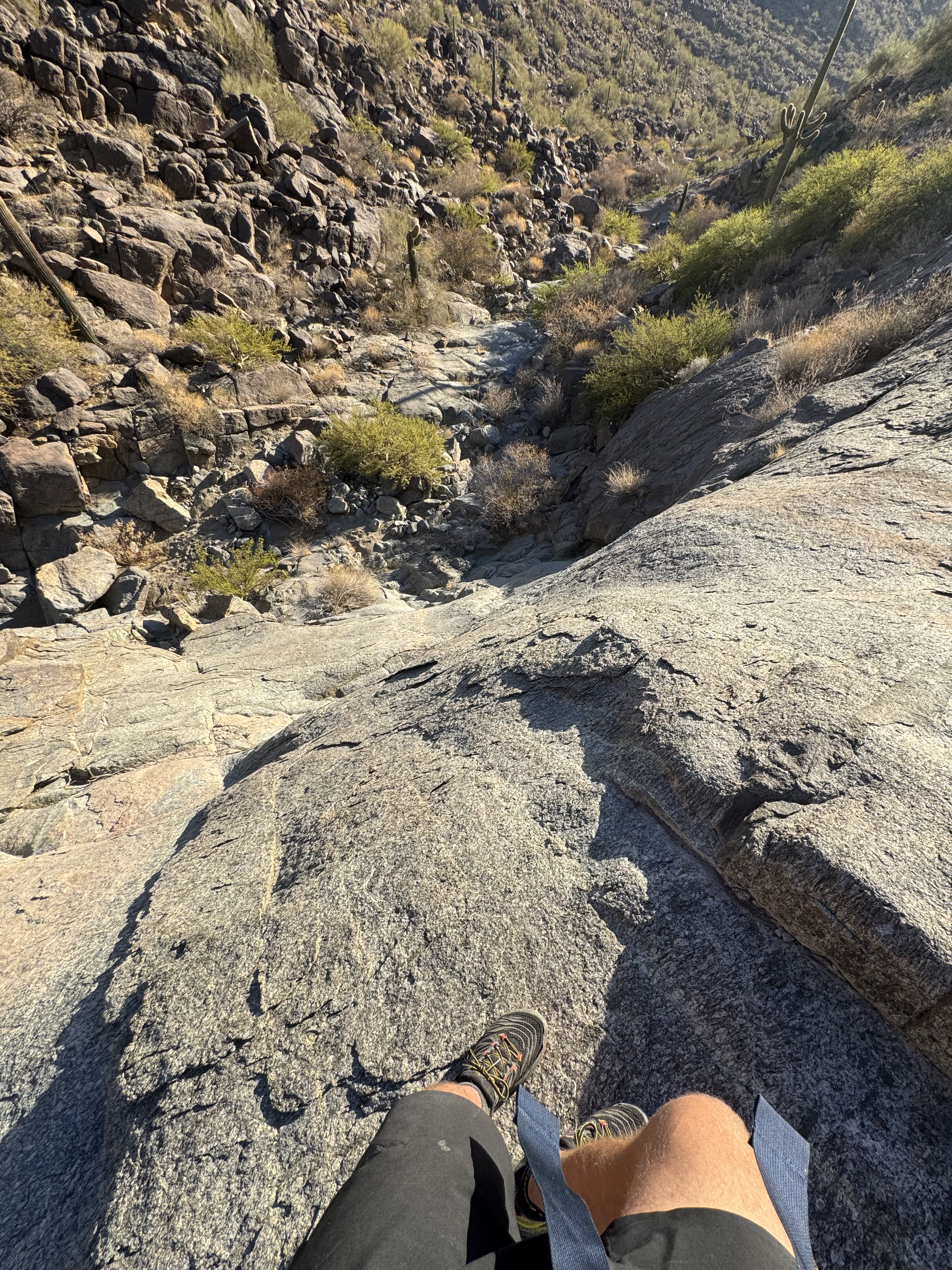
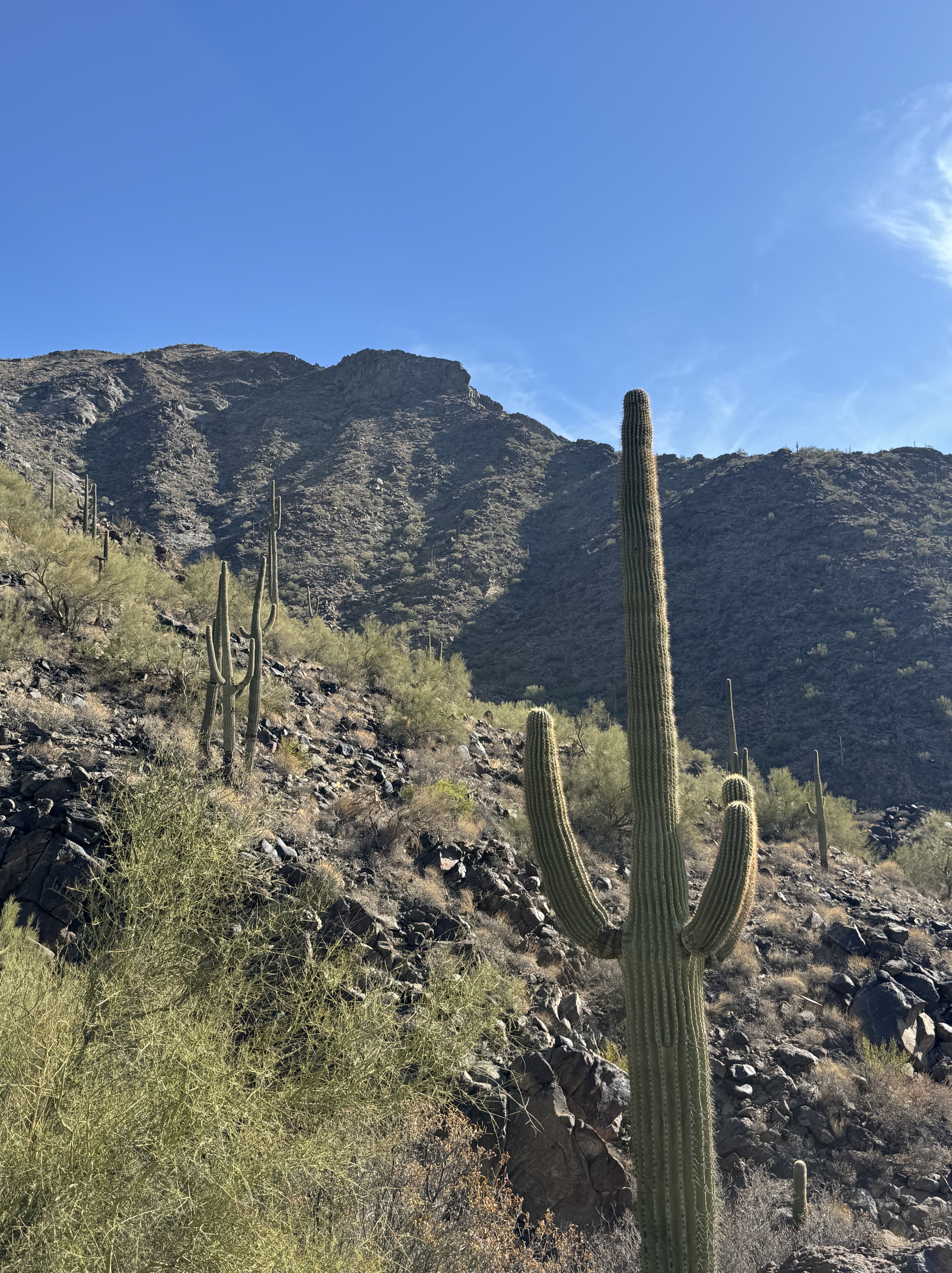
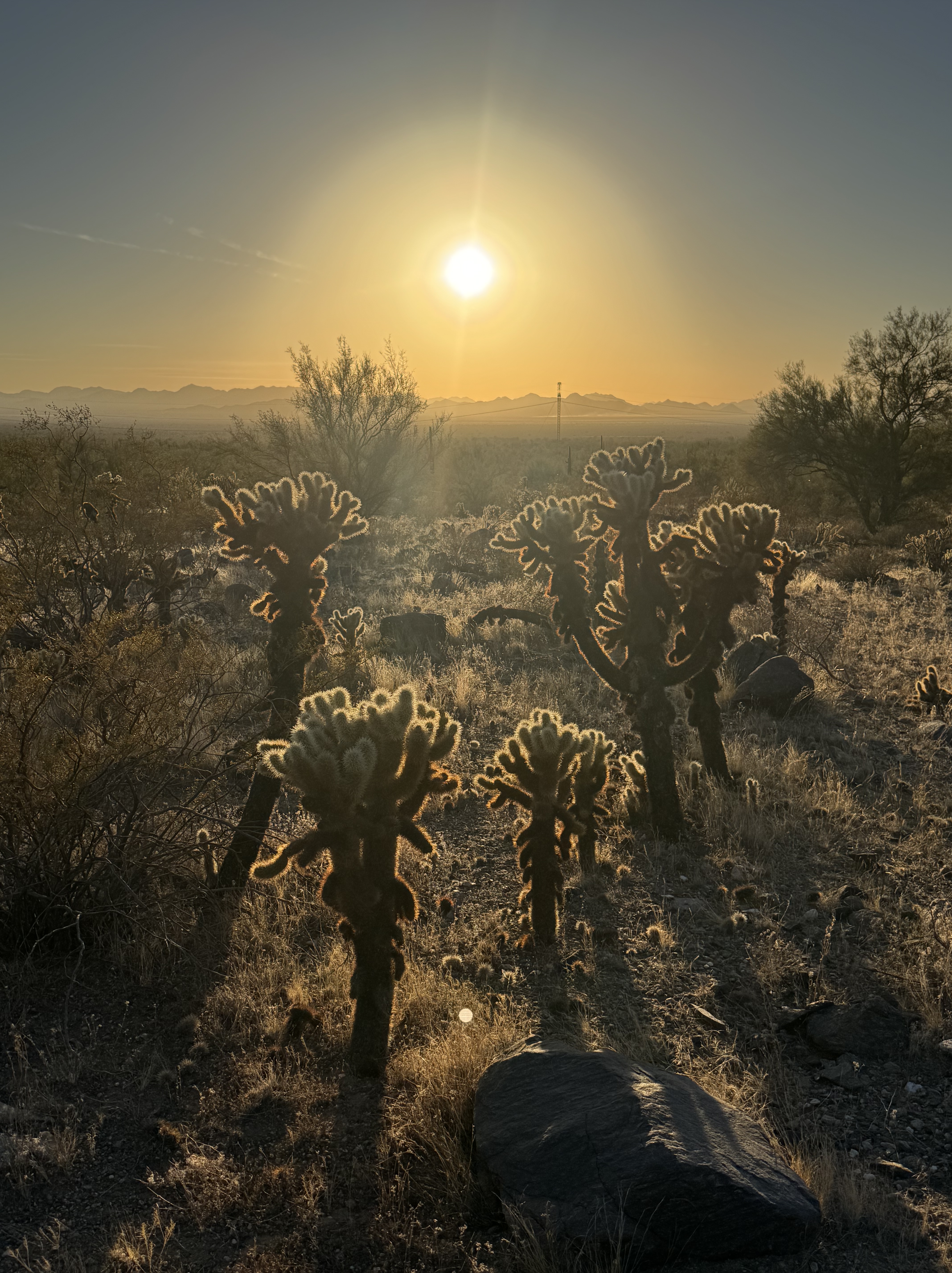
The bushwhacking is not terrible, but for a desert-level peak there is more vegetation than you might expect. The ridge is especially bushy. The most efficient route goes up the middle of 3 major drainages that feed the wash. It is tempting to follow the left-most drainage where the main-wash originates, and it’s probably fine if you do but it wanders toward a saddle that doesn’t need to be gained. There are a few cairns to follow but they are not dependably placed.

At the top, there is a surprising amount of infrastructure. There’s a few small radio towers, solar panels, propane tanks, and a small shack. The materials must have been dropped off by helicopter, as there are no roads even close to the top of the peak. In hindsight I should have taken a few pics of the site, but I was admittedly uninspired by it all. I was also running out daylight with no headlamp, and had 5 miles of slow-moving terrain between me and the car.
Comparing my first original assumption of this peak to reality might imply I was let-down, but truthfully I think it was just a testament to how dumb and unfit I was back in the day. It’s like learning how to trad climb for the first time. You realize it was always that easy, and you made up all of those complicated barriers in your mind. I’m not mad that I didn’t learn sooner… All it does is remind me that nothing is that deep, and I will be fine, and I’m kind of a beast at this. It’s good cannon-fodder for when I’m 40 miles deep in the Absarokas next summer.

Links
gpx for hike:https://www.strava.com/activities/13158087560
gpx for driving directions: https://www.peakbagger.com/climber/ascent.aspx?aid=2724619
